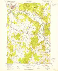
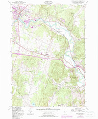
1948 Map of Essex Junction
USGS Topo · Published 1953About this map
The Central Vermont railroad corridor serves as the industrial spine of this Chittenden County landscape, connecting the village of Essex Junction with North Williston and Richmond. The Winooski River meanders through the center of the quadrangle, flanked by numerous small quarries and the Power House below the junction. This post-war survey illustrates a rural Vermont transition where agriculture meets early suburban expansion, evidenced by the Champlain Valley Exposition grounds and a network of local education centers like Muddy Brook Sch and Oak Hill Sch. To the south, the terrain rises toward Chamberlain Hill and Yantz Hill, leading toward the shores of Hinesburg Pond. This area is also marked by dedicated conservation and research land, including the Essex Junction Village Forest and the Vermont Research Forest Agriculture Experiment Station, showing the state's long-standing commitment to forestry management.
Find a feature on this map
36 named features on this map. Tap any name to fly to it.
Don’t see what you’re looking for? This feature index may not catch every label — zoom into the map to look around manually.
Map Details
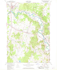
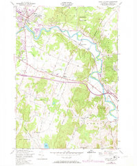
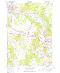
Editions of this 1948 Essex Junction Map
5 editions found
Other maps of this area

1906 · Burlington
USGS Topo · 1:62,500

1913 · Milton
USGS Topo · 1:48,000

1915 · Milton
USGS Topo · 1:62,500

1919 · Burlington
USGS Topo · 1:62,500

1921 · Richmond
USGS Topo · 1:48,000

1924 · Camels Hump
USGS Topo · 1:62,500

1925 · Mount Mansfield
USGS Topo · 1:48,000

1927 · Mount Mansfield
USGS Topo · 1:62,500

1944 · Milton
USGS Topo · 1:62,500

1944 · Mount Mansfield
USGS Topo · 1:62,500