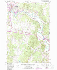
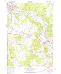
1948 Map of Essex Junction
USGS Topo · Published 1987About this map
The Central Vermont railroad corridor and the winding Winooski River define the industrial and agricultural landscape of Chittenden County in the mid-20th century. This area shows a transition from traditional rural patterns to early suburban infrastructure, anchored by the rail hub at Essex Junction and the regional Champlain Valley Exposition grounds. The map captures an era when local education was still decentralized, as evidenced by small neighborhood institutions like Muddy Brook Sch, Oak Hill Sch, and the Lake Iroquois Sch.
Find a feature on this map
35 named features on this map. Tap any name to fly to it.
Don’t see what you’re looking for? This feature index may not catch every label — zoom into the map to look around manually.
Map Details
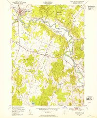
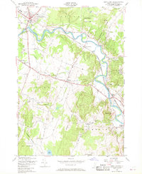
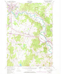
Editions of this 1948 Essex Junction Map
5 editions found
Other maps of this area

1906 · Burlington
USGS Topo · 1:62,500

1913 · Milton
USGS Topo · 1:48,000

1915 · Milton
USGS Topo · 1:62,500

1919 · Burlington
USGS Topo · 1:62,500

1921 · Richmond
USGS Topo · 1:48,000

1924 · Camels Hump
USGS Topo · 1:62,500

1925 · Mount Mansfield
USGS Topo · 1:48,000

1927 · Mount Mansfield
USGS Topo · 1:62,500

1944 · Milton
USGS Topo · 1:62,500

1944 · Mount Mansfield
USGS Topo · 1:62,500