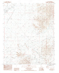
1985 Map of Essex
USGS Topo · Published 1985About this map
The high desert community of Essex serves as the focal point for this mid-1980s survey, positioned along the critical rail corridor of the Atchison Topeka and Santa Fe railroad. This arid landscape is defined by the broad expanse of Fenner Valley, which separates the dramatic elevations of the Piute Mountains to the east from the Old Woman Mountains to the south. Evidence of human adaptation and industry is scattered throughout the region, from the isolated Lazy Daisy Ranch and its nearby Corral to various unnamed prospect sites and a substantial borrow pit near the railroad tracks.
Find a feature on this map
20 named features on this map. Tap any name to fly to it.
Don’t see what you’re looking for? This feature index may not catch every label — zoom into the map to look around manually.
Map Details
Editions of this 1985 Essex Map
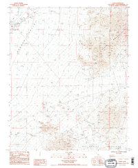
2 editions found
Other maps of this area

1942 · Amboy
USGS Topo · 1:250,000

1943 · Amboy
USGS Topo · 1:250,000

1943 · Essex
USGS Topo · 1:62,500

1943 · Danby
USGS Topo · 1:62,500

1943 · Fenner
USGS Topo · 1:62,500

1954 · Needles
USGS Topo · 1:250,000

1956 · Needles
USGS Topo · 1:250,000

1956 · Fenner
USGS Topo · 1:62,500

1956 · Essex
USGS Topo · 1:62,500

1956 · Colton Well
USGS Topo · 1:62,500