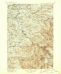
1916 Map of Estacada
USGS Topo · Published 1938About this map
The Clackamas River serves as the industrial and logistical backbone of this region, which was surveyed between 1907 and 1913. Hydroelectric development is already advanced, as evidenced by the Upper Dam and River Mill, which supported the growing power needs of the Portland area. The timber and agricultural economy is anchored by settlements like Estacada and Boring, while the presence of the Intake Portland Waterworks on the Bull Run River highlights the critical role this watershed played in urban infrastructure. Local commerce and rural life are well-documented through specific family and industry landmarks, including Burghardt Mill and Fishers Mill. The topography transitions from the low-lying farmlands around Gresham into the dense timber of the Mount Hood National Forest, where the terrain becomes increasingly steep toward Whale Head and Wanderers Pk.
Find a feature on this map
90 named features on this map. Tap any name to fly to it.
Don’t see what you’re looking for? This feature index may not catch every label — zoom into the map to look around manually.
Map Details
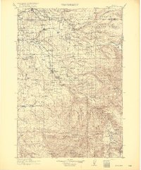
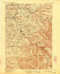
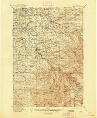
Editions of this 1916 Estacada Map
5 editions found
Other maps of this area

1897 · Portland
USGS Topo · 1:62,500

1905 · Portland
USGS Topo · 1:62,500

1911 · Boring
USGS Topo · 1:48,000

1914 · Boring
USGS Topo · 1:62,500

1914 · Oregon City
USGS Topo · 1:62,500

1916 · Estacada
USGS Topo · 1:125,000

1918 · Troutdale
USGS Topo · 1:62,500

1924 · Mount Hood
USGS Topo · 1:125,000

1926 · Hood River
USGS Topo · 1:125,000

1927 · Mount Hood
USGS Topo · 1:125,000