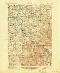
1916 Map of Estacada
USGS Topo · Published 1948About this map
The Clackamas River serves as the industrial and logistical spine of this region during the early twentieth century, anchoring essential hydroelectric and timber operations. Power generation sites at Faraday and Upper Dam appear alongside the terminus of the Clackamas Southern RR, which connected these remote canyon reaches to the broader Willamette Valley. Further north, the Portland Waterworks and its Intake on the Bull Run River mark the vital source of municipal water for the growing city of Portland.
Find a feature on this map
173 named features on this map. Tap any name to fly to it.
Don’t see what you’re looking for? This feature index may not catch every label — zoom into the map to look around manually.
Map Details
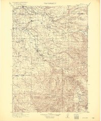
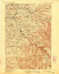
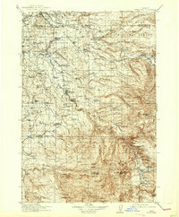
Editions of this 1916 Estacada Map
5 editions found
Other maps of this area

1897 · Portland
USGS Topo · 1:62,500

1905 · Portland
USGS Topo · 1:62,500

1911 · Boring
USGS Topo · 1:48,000

1914 · Boring
USGS Topo · 1:62,500

1914 · Oregon City
USGS Topo · 1:62,500

1916 · Estacada
USGS Topo · 1:125,000

1918 · Troutdale
USGS Topo · 1:62,500

1924 · Mount Hood
USGS Topo · 1:125,000

1926 · Hood River
USGS Topo · 1:125,000

1927 · Mount Hood
USGS Topo · 1:125,000