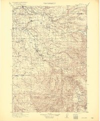
1916 Map of Estacada
USGS Topo · Published 1916About this map
The Clackamas River and Sandy River define this era of industrial and agricultural expansion in the foothills of the Cascades. The Portland Railway Light & Power Co line serves as a primary artery, connecting timber and power interests at Cazadero and Faraday with the growing northern settlements. River-based commerce is evident through the River Mill and the infrastructure of the Intake Portland Waterworks, while river crossings rely on the C. Murray Ferry and Feldrheimer Ferry.
Find a feature on this map
98 named features on this map. Tap any name to fly to it.
Don’t see what you’re looking for? This feature index may not catch every label — zoom into the map to look around manually.
Map Details
Editions of this 1916 Estacada Map
5 editions found

Historical Maps of Portland Through Time
10 maps found
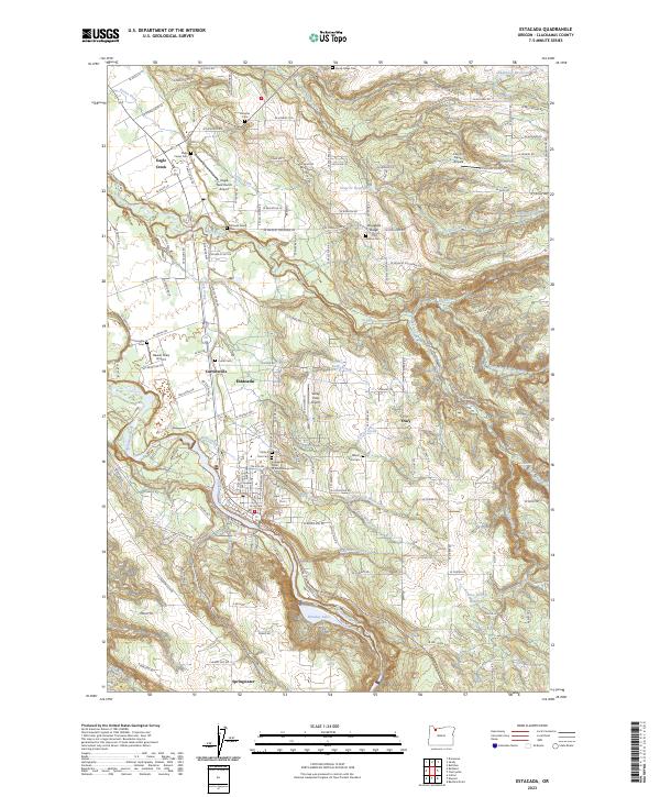
1916 Estacada
Clackamas County, OR
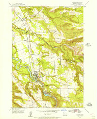
1954 Estacada
Clackamas County, OR
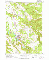
1960 Estacada
Clackamas County, OR
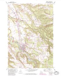
1961 Estacada
Clackamas County, OR
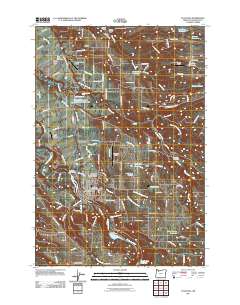
2011 Estacada
Clackamas County, OR

2014 Estacada
Clackamas County, OR
2017 Estacada
Clackamas County, OR
2020 Estacada
Clackamas County, OR
2023 Estacada
Clackamas County, OR

2024 Estacada
Clackamas County, OR