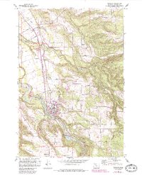
1961 Map of Estacada
USGS Topo · Published 1985About this map
The Clackamas River serves as the industrial and geographical spine of this Clackamas County region, supporting a complex network of hydroelectric facilities including the River Mill Powerhouse and the Cazadero Powerhouse near Faraday. This mid-century landscape reveals the evolution of transport and energy, where the Portland Traction Co (Abandoned) line follows the river's bend near Estacada. Local genealogy is well-represented through numerous family and community landmarks, such as Forrester Cem and Mt Zion Ch, alongside established rural settlements like Currinsville and Springwater. The transition toward recreational use is evident in the development of Milo McIver State Park and Eagle Fern Park, while the rugged drainage basins of Deep Creek and North Fork Eagle Creek define the timbered upland terrain surrounding the river valley.
Find a feature on this map
60 named features on this map. Tap any name to fly to it.
Don’t see what you’re looking for? This feature index may not catch every label — zoom into the map to look around manually.
Map Details
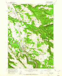
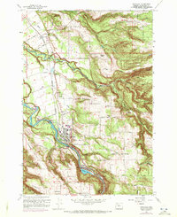
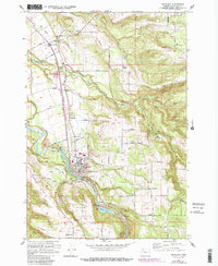
Editions of this 1961 Estacada Map
4 editions found
Other maps of this area

1911 · Boring
USGS Topo · 1:48,000

1914 · Boring
USGS Topo · 1:62,500

1916 · Estacada
USGS Topo · 1:125,000

1940 · Boring
USGS Topo · 1:62,500

1948 · Vancouver
USGS Topo · 1:250,000

1950 · Vancouver
USGS Topo · 1:250,000

1950 · Vancouver
USGS Topo · 1:250,000
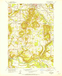
1954 · Damascus
USGS Topo · 1:24,000
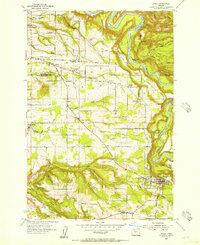
1954 · Sandy
USGS Topo · 1:24,000
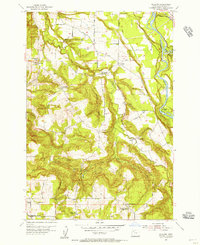
1954 · Redland
USGS Topo · 1:24,000