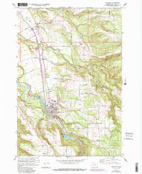
1961 Map of Estacada
USGS Topo · Published 1985About this map
The Clackamas River serves as the industrial and geographic anchor of this region, supporting a complex hydroelectric network that includes the River Mill Powerhouse, Cazadero Dam, and Cazadero Powerhouse. These installations, along with Faraday Lake, trace the early 20th-century development of the power grid in the Pacific Northwest. In the surrounding valley, the timber and agricultural landscape is marked by small settlements like Estacada, Currinsville, and Springwater, connected by a web of rural roads such as Firwood Road and Springwater Road. Local history is preserved at sites like the Historical Monument near Eagle Creek and two prominent burial grounds, Forrester Cem and Mt Zion Cem. For genealogists and local historians, the map documents the community's foundations through landmarks like the High Sch and several Grange Halls.
Find a feature on this map
60 named features on this map. Tap any name to fly to it.
Don’t see what you’re looking for? This feature index may not catch every label — zoom into the map to look around manually.
Map Details
Editions of this 1961 Estacada Map
4 editions found
Other maps of this area

1911 · Boring
USGS Topo · 1:48,000

1914 · Boring
USGS Topo · 1:62,500

1916 · Estacada
USGS Topo · 1:125,000

1940 · Boring
USGS Topo · 1:62,500

1948 · Vancouver
USGS Topo · 1:250,000

1950 · Vancouver
USGS Topo · 1:250,000

1950 · Vancouver
USGS Topo · 1:250,000
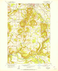
1954 · Damascus
USGS Topo · 1:24,000
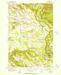
1954 · Sandy
USGS Topo · 1:24,000
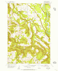
1954 · Redland
USGS Topo · 1:24,000