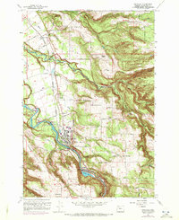
1961 Map of Estacada
USGS Topo · Published 1972About this map
The Clackamas River serves as the industrial and geographical spine of this Oregon landscape, powering the region through the River Mill Powerhouse and Cazadero Powerhouse. In the early 1960s, the city of Estacada appears as a central hub of activity, surrounded by smaller historical settlements like Currinsville, Garfield, and Faraday. The river's path is marked by substantial infrastructure including the Cazadero Dam and Faraday Lake, reflecting a mid-century reliance on hydroelectric generation.
Find a feature on this map
58 named features on this map. Tap any name to fly to it.
Don’t see what you’re looking for? This feature index may not catch every label — zoom into the map to look around manually.
Map Details
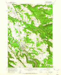
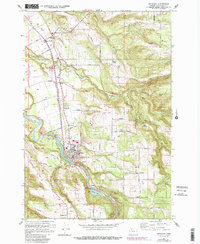
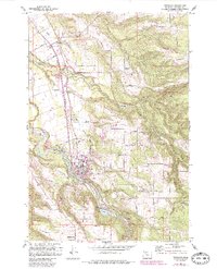
Editions of this 1961 Estacada Map
4 editions found
Other maps of this area

1911 · Boring
USGS Topo · 1:48,000

1914 · Boring
USGS Topo · 1:62,500

1916 · Estacada
USGS Topo · 1:125,000

1940 · Boring
USGS Topo · 1:62,500

1948 · Vancouver
USGS Topo · 1:250,000

1950 · Vancouver
USGS Topo · 1:250,000

1950 · Vancouver
USGS Topo · 1:250,000
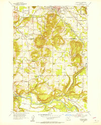
1954 · Damascus
USGS Topo · 1:24,000
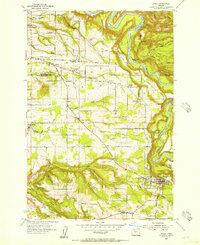
1954 · Sandy
USGS Topo · 1:24,000
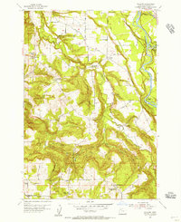
1954 · Redland
USGS Topo · 1:24,000