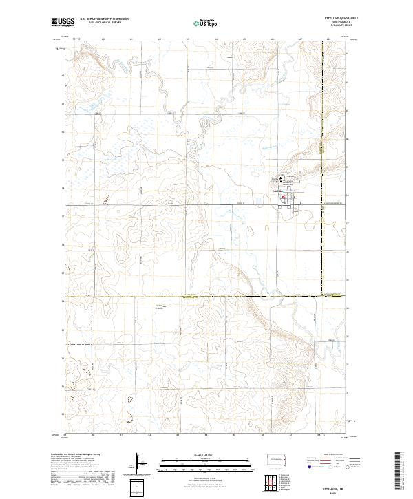
2021 Map of Estelline
USGS Topo · Published 2021About this map
Estelline serves as the primary hub of activity in this pocket of eastern South Dakota, situated at the intersection of S Dakota Highway 28 and the winding Big Sioux River. The landscape here transitions from the riparian bottomlands of the river valley to the rising elevation of the Coteau des Prairies, a prominent glacial upland that defines the topography of the region. The map captures several small tributaries feeding the main river, including the aptly named Hidewood Cr, Bullhead Run, and Peg Munky Run. For those researching local heritage, the settlement's northern edge is home to a concentration of burial grounds, including Hillcrest Cem, the Estelline City Cem, and Saint Francis de Sales Catholic Cem. The surrounding sections are partitioned by a grid of rural routes such as Co Rd 7 and Co Rd A, marking the intersection of Hamlin, Deuel, and Brookings counties.
Find a feature on this map
38 named features on this map. Tap any name to fly to it.
Don’t see what you’re looking for? This feature index may not catch every label — zoom into the map to look around manually.
Map Details
Editions of this 2021 Estelline Map
This is the sole edition of this map. No revisions or reprints were ever made.
Other maps of this area

1953 · Watertown
USGS Topo · 1:250,000

1958 · Watertown
USGS Topo · 1:250,000

1968 · Brookings NE
USGS Topo · 1:24,000

1968 · Bruce
USGS Topo · 1:24,000

1968 · Arlington NE
USGS Topo · 1:24,000

1969 · Dempster
USGS Topo · 1:24,000

1969 · Castlewood
USGS Topo · 1:24,000

1969 · Lake Poinsett
USGS Topo · 1:24,000

1970 · Estelline SE
USGS Topo · 1:24,000

1970 · Estelline
USGS Topo · 1:24,000