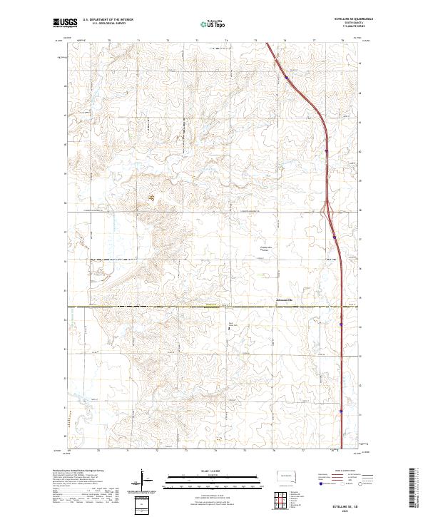
2021 Map of Estelline SE
USGS Topo · Published 2021About this map
Coteau des Prairies defines the rolling topography of this eastern South Dakota landscape, where the plateau transition meets the agricultural plains. The 2021 survey reveals a territory primarily organized by its section lines and watercourses, including the Big Sioux River and several ephemeral runs like Peg Munky Run and Bullhead Run. Cultural landmarks are few but significant for local history, centered around the Saint Johns Cem and the settlement area of Johnsonville. The map documents the boundary between Deuel and Brookings counties, tracking the infrastructure of South Dakota Highway 28 as it crosses the northern section of the quadrangle. This detailed topographical study provides a clear view of the drainage patterns for N Deer Cr and the rural road network that facilitates the region's agricultural industry.
Find a feature on this map
22 named features on this map. Tap any name to fly to it.
Don’t see what you’re looking for? This feature index may not catch every label — zoom into the map to look around manually.
Map Details
Editions of this 2021 Estelline SE Map
This is the sole edition of this map. No revisions or reprints were ever made.
Other maps of this area

1953 · Watertown
USGS Topo · 1:250,000

1958 · Watertown
USGS Topo · 1:250,000

1968 · Brookings NE
USGS Topo · 1:24,000

1968 · Bruce
USGS Topo · 1:24,000

1969 · Dempster
USGS Topo · 1:24,000

1970 · White
USGS Topo · 1:24,000

1970 · Clear Lake South
USGS Topo · 1:24,000

1970 · Estelline SE
USGS Topo · 1:24,000

1970 · Estelline
USGS Topo · 1:24,000

1970 · Estelline NE
USGS Topo · 1:24,000