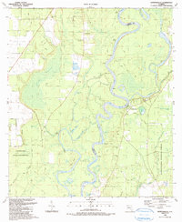
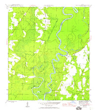
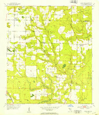
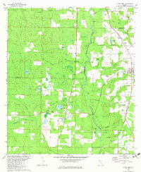
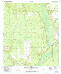
1990 Map of Estiffanulga
USGS Topo · Published 1990This historical map portrays the area of Estiffanulga in 1990, primarily covering Calhoun County as well as portions of Liberty County. Featuring a scale of 1:24000, this map provides a highly detailed snapshot of the terrain, roads, buildings, counties, and historical landmarks in the Estiffanulga region at the time. Published in 1990, it is the sole known edition of this map.
Find a feature on this map
57 named features on this map. Tap any name to fly to it.
Don’t see what you’re looking for? This feature index may not catch every label — zoom into the map to look around manually.
Map Details
Editions of this 1990 Estiffanulga Map
This is the sole edition of this map. No revisions or reprints were ever made.
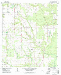
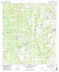
Historical Maps of New Hope Through Time
19 maps found
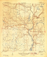
1944 Clarksville
Calhoun County, FL
1945 Broad Branch
Calhoun County, FL
1945 Clarksville
Calhoun County, FL
1945 Estiffanulga
Calhoun County, FL
1945 Frink
Calhoun County, FL
1945 Juniper Creek
Calhoun County, FL
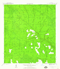
1952 Alford SE
Calhoun County, FL
1952 Altha East
Calhoun County, FL
1952 Altha West
Calhoun County, FL
1982 Alford SE
Calhoun County, FL
1982 Altha East
Calhoun County, FL
1982 Altha West
Calhoun County, FL
1982 Broad Branch
Calhoun County, FL
1982 Juniper Creek
Calhoun County, FL
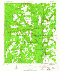
1990 Clarksville
Calhoun County, FL
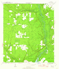
1990 Estiffanulga
Calhoun County, FL
1990 Frink
Calhoun County, FL
1994 Altha East
Calhoun County, FL
1994 Altha West
Calhoun County, FL