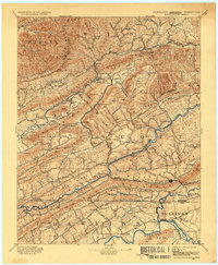
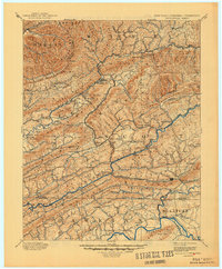
1894 Map of Estillville
USGS Topo · Published 1936About this map
The Natural Tunnel stands as a focal point in this 19th-century survey of the Central Appalachian frontier, where the rugged ridgelines of Stone Mountain and Powell Mountain dictated the paths of trade and travel. The map captures the region during a pivotal industrial transition as the South Atlantic and Ohio R. R. and the Norfolk and Western R. R. began piercing the gaps to reach the coalfields of Wise and Harlan counties. This topography reveals a landscape defined by its river crossings and mountain passes, featuring numerous family-named river fords such as Horton Ford and De Busk Ford. Settlements like Gate City and Big Stone Gap emerge as early regional hubs, while smaller mountain communities like Stickleyville and Duffield are shown connected by the historic Stage Road winding through the valleys.
Find a feature on this map
132 named features on this map. Tap any name to fly to it.
Don’t see what you’re looking for? This feature index may not catch every label — zoom into the map to look around manually.
Map Details
Editions of this 1894 Estillville Map
3 editions found

Other maps of this area

1883 · Morristown
USGS Topo · 1:125,000

1886 · Grundy
USGS Topo · 1:125,000

1887 · Jonesville
USGS Topo · 1:125,000

1890 · Whitesburg
USGS Topo · 1:125,000

1890 · Grundy
USGS Topo · 1:125,000

1891 · Hazard
USGS Topo · 1:125,000

1891 · Roan Mountain
USGS Topo · 1:125,000

1891 · Jonesville
USGS Topo · 1:125,000

1892 · Grundy
USGS Topo · 1:125,000

1892 · Greeneville
USGS Topo · 1:125,000