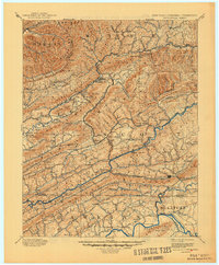
1894 Map of Estillville
USGS Topo · Published 1945About this map
Stone Mountain and Clinch Mountain dominate this late 19th-century survey of the Appalachian Highlands, where the borders of Kentucky, Virginia, and Tennessee converge. The topography reveals a landscape shaped by narrow gaps and deep river valleys, with the Clinch River and Powell River serving as primary corridors for early settlement and movement. A remarkable geological feature, the Natural Tunnel, appears along the path of the South Atlantic and Ohio RR, illustrating how the region's unique geology dictated the route of its growing industrial infrastructure.
Find a feature on this map
100 named features on this map. Tap any name to fly to it.
Don’t see what you’re looking for? This feature index may not catch every label — zoom into the map to look around manually.
Map Details
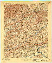
Editions of this 1894 Estillville Map
3 editions found

Other maps of this area

1883 · Morristown
USGS Topo · 1:125,000

1886 · Grundy
USGS Topo · 1:125,000

1887 · Jonesville
USGS Topo · 1:125,000

1890 · Whitesburg
USGS Topo · 1:125,000

1890 · Grundy
USGS Topo · 1:125,000

1891 · Hazard
USGS Topo · 1:125,000

1891 · Roan Mountain
USGS Topo · 1:125,000

1891 · Jonesville
USGS Topo · 1:125,000

1892 · Grundy
USGS Topo · 1:125,000

1892 · Greeneville
USGS Topo · 1:125,000