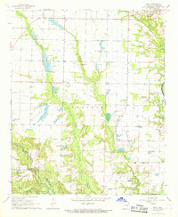
1967 Map of Ethel
USGS Topo · Published 1968About this map
St Charles stands at the northern edge of this Arkansas County landscape, where the wooded bottoms of the White River National Wildlife Refuge meet the agricultural expanse of the Prairie. The survey captures the mid-century rural character of the region, defined by an intricate network of siphons, flumes, and wells that supported the local rice and soybean economy. Small crossroads communities like Ethel and Van serve as focal points for a scattered population, anchored by a significant number of country churches such as Pleasant Grove Ch and St John Ch.
Find a feature on this map
26 named features on this map. Tap any name to fly to it.
Don’t see what you’re looking for? This feature index may not catch every label — zoom into the map to look around manually.
Map Details
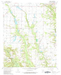
Editions of this 1967 Ethel Map
2 editions found
Other maps of this area

1935 · Gillett
USGS Topo · 1:62,500

1939 · Indian Bay
USGS Topo · 1:62,500

1939 · Henrico
USGS Topo · 1:62,500

1941 · De Witt
USGS Topo · 1:62,500

1948 · Helena
USGS Topo · 1:250,000

1950 · Helena
USGS Topo · 1:250,000

1954 · Indian Bay
USGS Topo · 1:62,500

1954 · De Witt
USGS Topo · 1:62,500

1954 · Henrico
USGS Topo · 1:62,500

1955 · Helena
USGS Topo · 1:250,000