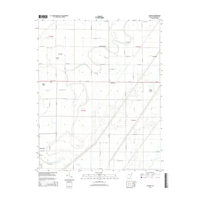
2014 Map of Etowah
USGS Topo · Published 2014About this map
Etowah sits within a complex water-management landscape in Mississippi County, where the meandering Left Hand Chute of Little River defines the local topography. This 2014 survey reveals an area heavily modified for agriculture, characterized by an extensive grid of drainage features including Ditch Number 15, Ditch Number 18, and Ditch Number 54. These engineered waterways cut through the natural bends of the river, leaving behind landforms like Jacksons Island and remnants of the original channel at Caney Old River and Redmond Old River. Small rural clusters such as Bondsville, Athelstan, and Carrol Corner are connected by a network of county roads, while local genealogy is rooted in sites like Three Way Cem and Gant Cem. The eastern portion of the map is dominated by the Tyronza Sunk Lands, a distinctive terrain feature resulting from historic seismic activity.
Find a feature on this map
56 named features on this map. Tap any name to fly to it.
Don’t see what you’re looking for? This feature index may not catch every label — zoom into the map to look around manually.
Map Details
Editions of this 2014 Etowah Map
This is the sole edition of this map. No revisions or reprints were ever made.
Other maps of this area

1939 · Evadale
USGS Topo · 1:62,500

1941 · Leachville
USGS Topo · 1:62,500

1941 · Manila
USGS Topo · 1:62,500

1941 · Marked Tree
USGS Topo · 1:62,500

1953 · Memphis
USGS Topo · 1:250,000

1956 · Leachville
USGS Topo · 1:62,500

1956 · Manila
USGS Topo · 1:62,500

1956 · Evadale
USGS Topo · 1:62,500

1956 · Marked Tree
USGS Topo · 1:62,500

1956 · Memphis
USGS Topo · 1:250,000