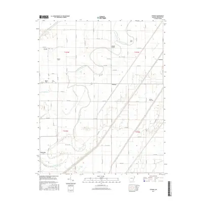
2017 Map of Etowah
USGS Topo · Published 2017About this map
Left Hand Chute of Little River meanders through this portion of Mississippi County, defining a landscape shaped by hydraulic engineering and alluvial history. The drainage network is heavily managed, evidenced by Ditch Number 18, Ditch Number 19, and Ditch Number 15, which serve to reclaim the low-lying terrain of the Tyronza Sunk Lands. These features illustrate the transformation of Arkansas wetlands into productive agricultural territory.
Find a feature on this map
71 named features on this map. Tap any name to fly to it.
Don’t see what you’re looking for? This feature index may not catch every label — zoom into the map to look around manually.
Map Details
Editions of this 2017 Etowah Map
This is the sole edition of this map. No revisions or reprints were ever made.
Other maps of this area

1939 · Evadale
USGS Topo · 1:62,500

1941 · Leachville
USGS Topo · 1:62,500

1941 · Manila
USGS Topo · 1:62,500

1941 · Marked Tree
USGS Topo · 1:62,500

1953 · Memphis
USGS Topo · 1:250,000

1956 · Leachville
USGS Topo · 1:62,500

1956 · Manila
USGS Topo · 1:62,500

1956 · Evadale
USGS Topo · 1:62,500

1956 · Marked Tree
USGS Topo · 1:62,500

1956 · Memphis
USGS Topo · 1:250,000