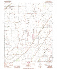
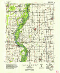
1983 Map of Etowah
USGS Topo · Published 1984About this map
Little River and the Left Hand Chute define this Mississippi County landscape, where an intricate network of drainage systems like Kochtitzky Ditch and Ditch No 1 has been engineered to manage the low-lying terrain. The map captures a primarily agricultural region dotted with small settlements such as Etowah and Bondsville, which are connected by a grid of rural roads and levees. Local community life is evidenced by numerous rural sanctuaries, including Brinkley Chapel, Garden Point Ch, and the Church of God. The prevalence of private airfield infrastructure, notably McGinnis Landing Strip and Bondsville Landing Strip, underscores the importance of aerial access for farming operations in this riverine environment. Smaller locales like Carrol Corner, Athelstan, and Half Town represent the decentralized settlement patterns typical of the Arkansas delta in the late 20th century.
Find a feature on this map
36 named features on this map. Tap any name to fly to it.
Don’t see what you’re looking for? This feature index may not catch every label — zoom into the map to look around manually.
Map Details
Editions of this 1983 Etowah Map
This is the sole edition of this map. No revisions or reprints were ever made.
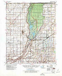
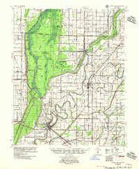
Other maps of this area

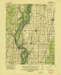
1939 · Evadale
USGS Topo · 1:62,500
1941 · Leachville
USGS Topo · 1:62,500
1941 · Manila
USGS Topo · 1:62,500
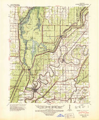
1941 · Marked Tree
USGS Topo · 1:62,500

1953 · Memphis
USGS Topo · 1:250,000
1956 · Leachville
USGS Topo · 1:62,500
1956 · Manila
USGS Topo · 1:62,500

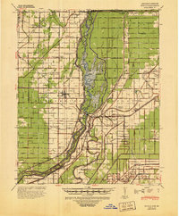
1956 · Evadale
USGS Topo · 1:62,500
1956 · Marked Tree
USGS Topo · 1:62,500

1956 · Memphis
USGS Topo · 1:250,000