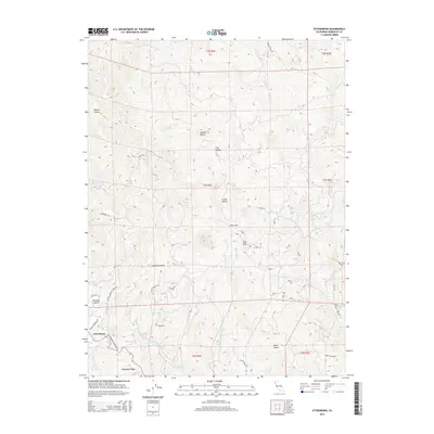
2015 Map of Ettersburg
USGS Topo · Published 2015About this map
Ettersburg sits at the southwestern edge of this landscape, where the Ettersburg Honeydew Rd winds through the hills of Humboldt County. The terrain is defined by prominent elevations such as Gilham Butte, Dickson Butte, and Clarks Butte, which overlook a complex network of drainages including Salmon Cr and its S Fork Salmon Cr. The map reveals a remote rural character, where small, numbered tracks like Road G and Road Z provide access to high ridges and secluded flats.
Find a feature on this map
46 named features on this map. Tap any name to fly to it.
Don’t see what you’re looking for? This feature index may not catch every label — zoom into the map to look around manually.
Map Details
Editions of this 2015 Ettersburg Map
This is the sole edition of this map. No revisions or reprints were ever made.
Other maps of this area

1919 · Glynn
USGS Topo · 1:62,500

1920 · Pt. Delagda
USGS Topo · 1:62,500

1921 · Dyerville
USGS Topo · 1:62,500

1921 · Briceland
USGS Topo · 1:62,500

1949 · Eureka
USGS Topo · 1:250,000

1949 · Point Delgada
USGS Topo · 1:62,500

1949 · Garberville
USGS Topo · 1:62,500

1949 · Weott
USGS Topo · 1:62,500

1950 · Scotia
USGS Topo · 1:62,500

1951 · Scotia
USGS Topo · 1:62,500