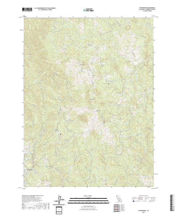
2021 Map of Ettersburg
USGS Topo · Published 2021About this map
Ettersburg serves as the primary settlement hub for this corner of Humboldt County, positioned near the junction of Ettersburg Rd and China Creek Rd. The landscape is dominated by significant elevation changes, defined by the prominent Elk Ridge and the southern rise of Telegraph Ridge. This territory is deeply carved by the Mattole River and its various drainages, including Mattole Canyon and Blue Slide Cr. Land use and historical habitation are signaled by named openings in the dense terrain such as Crooked Prairie and Cedar Flat. Ranching and timber access are evident through an extensive network of rural tracks, including Thomas Rd, Rossi Ranch Rd, and Etter Ranch Rd. Notable high points like Gilham Butte and Dickson Butte provide distinct landmarks across the complex drainage basins of Salmon Cr and Miller Cr.
Find a feature on this map
72 named features on this map. Tap any name to fly to it.
Don’t see what you’re looking for? This feature index may not catch every label — zoom into the map to look around manually.
Map Details
Editions of this 2021 Ettersburg Map
This is the sole edition of this map. No revisions or reprints were ever made.
Other maps of this area

1919 · Glynn
USGS Topo · 1:62,500

1920 · Pt. Delagda
USGS Topo · 1:62,500

1921 · Dyerville
USGS Topo · 1:62,500

1921 · Briceland
USGS Topo · 1:62,500

1949 · Eureka
USGS Topo · 1:250,000

1949 · Point Delgada
USGS Topo · 1:62,500

1949 · Garberville
USGS Topo · 1:62,500

1949 · Weott
USGS Topo · 1:62,500

1950 · Scotia
USGS Topo · 1:62,500

1951 · Scotia
USGS Topo · 1:62,500