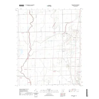
2020 Map of Eudora North
USGS Topo · Published 2020About this map
Bayou Macon and the Boeuf River wind through this delta landscape in Chicot County, defining a region where water management and agriculture are inextricably linked. The map reveals a complex network of drainage and irrigation, including Canal Number 4 and Caney Bayou, which serve the expansive agricultural tracts surrounding Chicot and Eudora. This 2020 survey captures the modern rural layout, where longstanding family and community landmarks remain central to the geography. Genealogists will find the locations of Holly Grove Cem Number 1 and Holly Grove Cem Number 2 particularly useful for identifying historical burial sites. The road network, including the diagonal path of Old Hwy 65 and various county roads like Carroll Hill Rd, illustrates the primary transit corridors connecting these small Arkansas settlements and farming communities.
Find a feature on this map
51 named features on this map. Tap any name to fly to it.
Don’t see what you’re looking for? This feature index may not catch every label — zoom into the map to look around manually.
Map Details
Editions of this 2020 Eudora North Map
This is the sole edition of this map. No revisions or reprints were ever made.
Other maps of this area

1936 · Eudora
USGS Topo · 1:62,500

1936 · Lake Village
USGS Topo · 1:62,500

1939 · Readland
USGS Topo · 1:62,500

1939 · Refuge
USGS Topo · 1:62,500

1953 · Greenwood
USGS Topo · 1:250,000

1955 · Lake Village
USGS Topo · 1:62,500

1956 · Greenwood
USGS Topo · 1:250,000

1957 · Eudora
USGS Topo · 1:62,500
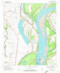
1970 · Readland
USGS Topo · 1:24,000
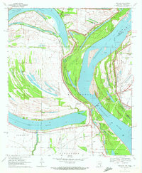
1970 · Red Leaf
USGS Topo · 1:24,000