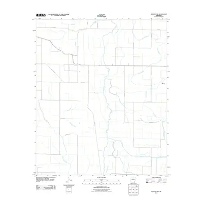
2011 Map of Eudora NW
USGS Topo · Published 2011About this map
Dry Bayou and Big Bayou snake through this section of the Arkansas delta, defining a landscape traditionally dominated by alluvial agriculture. The map captures a transition point between natural hydrology and a system of rural road networks, including Ashley Road 51 and Ashley Road 161, that follow the contours of the land rather than a strict grid. Near the eastern edge, the settlement of Boeuf sits amidst the winding course of Crooked Bayou.
Find a feature on this map
23 named features on this map. Tap any name to fly to it.
Don’t see what you’re looking for? This feature index may not catch every label — zoom into the map to look around manually.
Map Details
Editions of this 2011 Eudora NW Map
This is the sole edition of this map. No revisions or reprints were ever made.
Other maps of this area

1935 · Mist
USGS Topo · 1:62,500

1935 · Wilmot
USGS Topo · 1:62,500

1936 · Eudora
USGS Topo · 1:62,500

1936 · Lake Village
USGS Topo · 1:62,500

1953 · Greenwood
USGS Topo · 1:250,000

1955 · Lake Village
USGS Topo · 1:62,500

1956 · Greenwood
USGS Topo · 1:250,000

1957 · Eudora
USGS Topo · 1:62,500

1960 · Snyder
USGS Topo · 1:24,000

1960 · Mist
USGS Topo · 1:62,500