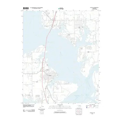
2010 Map of Eufaula
USGS Topo · Published 2010About this map
The city of Eufaula serves as the focal point of this 2010 survey, situated where the North Canadian River and Canadian River converge. The landscape is defined by the expansive reaches of these waterways, including the Deep Fork and Baptizing Creek, which shape the irregular peninsula and shoreline residential patterns. For local historians, the sheet provides a record of several legacy burial grounds, including Fishertown Cemetery, Greenwood Cemetery, and Mcintosh Cemetery. Aviation and infrastructure are represented by the Rafter 'R' Ranch Airport and the Terra Lakes Lake Dam to the northeast. The road network, including Lakeshore Dr and Hospital Rd, illustrates the modern layout of the community as it interfaces with the surrounding reservoir waters and smaller tributaries like Longtown Creek and Fame Branch.
Find a feature on this map
28 named features on this map. Tap any name to fly to it.
Don’t see what you’re looking for? This feature index may not catch every label — zoom into the map to look around manually.
Map Details
Editions of this 2010 Eufaula Map
This is the sole edition of this map. No revisions or reprints were ever made.
Other maps of this area

1900 · Sansbois
USGS Topo · 1:125,000

1900 · Canadian
USGS Topo · 1:125,000

1909 · Sans Bois
USGS Topo · 1:125,000

1911 · Sansbois
USGS Topo · 1:125,000

1946 · Fort Smith
USGS Topo · 1:250,000

1962 · Pierce
USGS Topo · 1:24,000

1963 · Warner NW
USGS Topo · 1:24,000

1963 · Stidham
USGS Topo · 1:24,000

1963 · Eufaula
USGS Topo · 1:24,000

1963 · Checotah
USGS Topo · 1:24,000