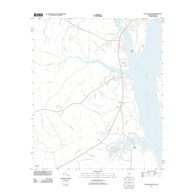
2011 Map of Eufaula South
USGS Topo · Published 2011About this map
The Walter F George Reservoir dominates the eastern landscape of this Barbour County region, where the broad waters of the Chattahoochee River form the boundary between Alabama and Georgia. This inland waterway supports industrial and transport infrastructure like the Chauncy Sparks Termina, while the surrounding countryside maintains its rural character. Small communities and historical points of interest are scattered throughout the interior, including the settlement of Terese and the Sardis Cemetery.
Find a feature on this map
75 named features on this map. Tap any name to fly to it.
Don’t see what you’re looking for? This feature index may not catch every label — zoom into the map to look around manually.
Map Details
Editions of this 2011 Eufaula South Map
2 editions found
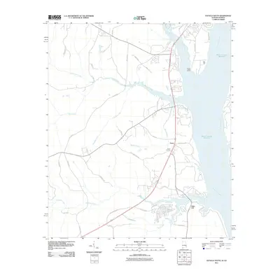
Other maps of this area

1953 · Dothan
USGS Topo · 1:250,000

1954 · Dothan
USGS Topo · 1:250,000

1955 · Dothan
USGS Topo · 1:250,000

1967 · Hatcher
USGS Topo · 1:24,000

1967 · Georgetown
USGS Topo · 1:24,000

1968 · Eufaula North
USGS Topo · 1:24,000

1968 · Baker Hill
USGS Topo · 1:24,000

1968 · White Oak
USGS Topo · 1:24,000

1968 · Eufaula South
USGS Topo · 1:24,000

1969 · Fort Gaines NW
USGS Topo · 1:24,000