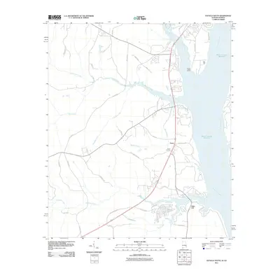
2011 Map of Eufaula South
USGS Topo · Published 2011About this map
The Walter F George Reservoir and the Chattahoochee River define the eastern boundary of this landscape, where the water meets the shoreline of Barbour County. This area south of Eufaula shows the industrial and agricultural infrastructure of the early 21st century, including the Chauncy Sparks Terminal located along the reservoir's edge. The settlement pattern is anchored by small communities such as Terese and White Oak, which are connected by a network of rural routes like White Oak Church Rd and County Rd 40.
Find a feature on this map
42 named features on this map. Tap any name to fly to it.
Don’t see what you’re looking for? This feature index may not catch every label — zoom into the map to look around manually.
Map Details
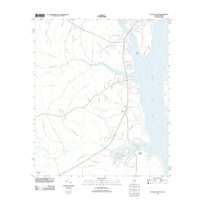
Editions of this 2011 Eufaula South Map
2 editions found
Other maps of this area

1953 · Dothan
USGS Topo · 1:250,000

1954 · Dothan
USGS Topo · 1:250,000

1955 · Dothan
USGS Topo · 1:250,000

1967 · Hatcher
USGS Topo · 1:24,000

1967 · Georgetown
USGS Topo · 1:24,000

1968 · Eufaula North
USGS Topo · 1:24,000

1968 · Baker Hill
USGS Topo · 1:24,000

1968 · White Oak
USGS Topo · 1:24,000

1968 · Eufaula South
USGS Topo · 1:24,000

1969 · Fort Gaines NW
USGS Topo · 1:24,000