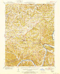
1951 Map of Eugene
USGS Topo · Published 1951About this map
The Osage River meanders through the southern portion of this Missouri landscape, forming a dramatic boundary between Cole and Miller Counties. The mid-century rural character is defined by a dense network of small schools and churches that served scattered farming communities. Significant settlements like Eugene and Henley are connected by the Chicago Rock Island and Pacific railroad, which follows the path of Tavern Creek through the rugged river hills. Local industry and geography are marked by several quarries and distinctive features like Bat Cave and Klugs Cave. Genealogy researchers will find numerous family-named landmarks and resting places, from Mt Carmel Cem in the north to the Thompson Cem near the southern border. The transition from the Moreau drainage basin in the north to the Osage in the south highlights a landscape deeply tied to its watercourses and rail lines.
Find a feature on this map
80 named features on this map. Tap any name to fly to it.
Don’t see what you’re looking for? This feature index may not catch every label — zoom into the map to look around manually.
Map Details
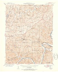
Editions of this 1951 Eugene Map
2 editions found
Other maps of this area

1886 · Jefferson City
USGS Topo · 1:125,000

1888 · Versailles
USGS Topo · 1:125,000

1888 · Tuscumbia
USGS Topo · 1:125,000

1888 · Boonville
USGS Topo · 1:125,000

1893 · Versailles
USGS Topo · 1:125,000

1894 · Tuscumbia
USGS Topo · 1:125,000

1894 · Jefferson City
USGS Topo · 1:125,000

1904 · Eldon
USGS Topo · 1:62,500

1932 · Versailles No 4
USGS Topo · 1:48,000

1933 · Iberia
USGS Topo · 1:62,500