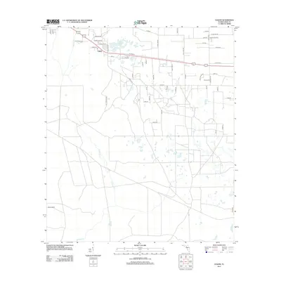
2012 Map of Eugene
USGS Topo · Published 2012About this map
Eugene stands as a focal point in this portion of Dixie County, where residential clusters are woven into a landscape defined by water management and natural drainage. The northern half of the area is particularly noteworthy for its dense network of named family roads, such as Noah Lord Rd and Randall Keen Rd, reflecting deep-rooted local heritage and settlement patterns. These routes intersect with larger thoroughfares like Co Hwy 55, connecting the community to the surrounding wetland environment.
Find a feature on this map
53 named features on this map. Tap any name to fly to it.
Don’t see what you’re looking for? This feature index may not catch every label — zoom into the map to look around manually.
Map Details
Editions of this 2012 Eugene Map
This is the sole edition of this map. No revisions or reprints were ever made.
Other maps of this area

1954 · Cross City West
USGS Topo · 1:24,000

1954 · Eugene
USGS Topo · 1:24,000

1954 · Cross City East
USGS Topo · 1:24,000

1954 · Cross City SW
USGS Topo · 1:24,000

1954 · Manatee Springs
USGS Topo · 1:24,000

1954 · Vista
USGS Topo · 1:24,000

1954 · Gainesville
USGS Topo · 1:250,000

1955 · Shired Island
USGS Topo · 1:24,000

1958 · Gainesville
USGS Topo · 1:250,000

1959 · Gainesville
USGS Topo · 1:250,000