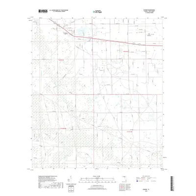
2018 Map of Eugene
USGS Topo · Published 2018About this map
Eugene stands as a primary focal point in this portion of Dixie County, situated along the corridor of Co RD 55. The landscape is defined by the transition from the wet lowlands of California Swamp and the engineered path of the Airport Canal to the more stable ground of Old Town Hammock. This map provides a clear record of the rural road network, where routes like Williams Rd and Raddie Lord Rd connect scattered residences and agricultural tracts. A significant local landmark is Long Pond, accompanied by the Long Pond Cem, which serves as a vital touchstone for genealogists and local historians tracking family roots in this part of Florida. The presence of these features suggests a community deeply integrated with the surrounding timberlands and wetlands, maintaining a quiet, rural character through the early 21st century.
Find a feature on this map
101 named features on this map. Tap any name to fly to it.
Don’t see what you’re looking for? This feature index may not catch every label — zoom into the map to look around manually.
Map Details
Editions of this 2018 Eugene Map
This is the sole edition of this map. No revisions or reprints were ever made.
Other maps of this area

1954 · Cross City West
USGS Topo · 1:24,000

1954 · Eugene
USGS Topo · 1:24,000

1954 · Cross City East
USGS Topo · 1:24,000

1954 · Cross City SW
USGS Topo · 1:24,000

1954 · Manatee Springs
USGS Topo · 1:24,000

1954 · Vista
USGS Topo · 1:24,000

1954 · Gainesville
USGS Topo · 1:250,000

1955 · Shired Island
USGS Topo · 1:24,000

1958 · Gainesville
USGS Topo · 1:250,000

1959 · Gainesville
USGS Topo · 1:250,000