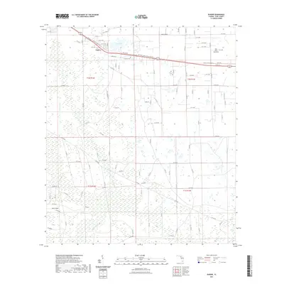
2021 Map of Eugene
USGS Topo · Published 2021About this map
Eugene serves as the primary settlement on this map, situated where Co RD 55 intersects with the Nature Coast State Trl. This portion of Dixie County is characterized by a low-lying, watery landscape where the massive California Swamp and California Slough dominate the southern half of the sheet. These wetlands are punctuated by slightly higher ground such as Davis Island and the wooded Old Town Hammock to the northeast. Historical interest is centered around the Long Pond Cem near the shores of Long Pond, reflecting the rural burial traditions of this coastal plain community. The modern repurposing of older transportation corridors is evident in the state trail that mirrors the highway, following a path through a terrain defined by extensive drainage features like the Airport Canal.
Find a feature on this map
103 named features on this map. Tap any name to fly to it.
Don’t see what you’re looking for? This feature index may not catch every label — zoom into the map to look around manually.
Map Details
Editions of this 2021 Eugene Map
This is the sole edition of this map. No revisions or reprints were ever made.
Other maps of this area

1954 · Cross City West
USGS Topo · 1:24,000

1954 · Eugene
USGS Topo · 1:24,000

1954 · Cross City East
USGS Topo · 1:24,000

1954 · Cross City SW
USGS Topo · 1:24,000

1954 · Manatee Springs
USGS Topo · 1:24,000

1954 · Vista
USGS Topo · 1:24,000

1954 · Gainesville
USGS Topo · 1:250,000

1955 · Shired Island
USGS Topo · 1:24,000

1958 · Gainesville
USGS Topo · 1:250,000

1959 · Gainesville
USGS Topo · 1:250,000