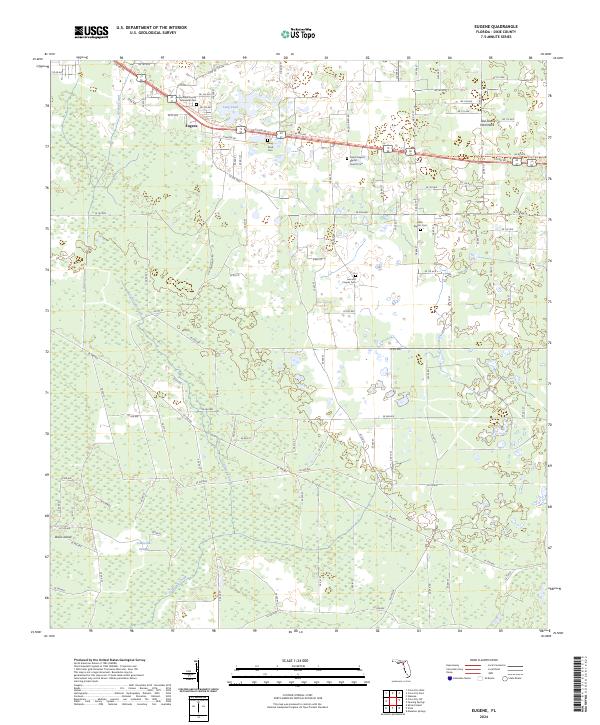
2024 Map of Eugene
USGS Topo · Published 2024About this map
Eugene serves as the primary settlement hub in this part of Dixie County, situated where Co RD 55 meets the modern Nature Coast State Trl. The landscape is defined by the transition from upland hammocks to the extensive California Swamp and Davis Island to the south. Local genealogy and burial history are well-represented by a cluster of rural sites including Long Pond Cem, New Prospect Baptist Church Cem, and the Lee and Cooper Cem. The hydrology is marked by the drainage of California Creek and the man-made Airport Canal, which bisects the western timberlands. To the east, the area known as Old Town Hammock provides a contrast to the lower-lying wetlands. This survey provides a clear view of the rural road network, including Jennifer Rd and Raddie Lord Rd, as it integrates with the natural topography of hammocks and marshes.
Find a feature on this map
108 named features on this map. Tap any name to fly to it.
Don’t see what you’re looking for? This feature index may not catch every label — zoom into the map to look around manually.
Map Details
Editions of this 2024 Eugene Map
This is the sole edition of this map. No revisions or reprints were ever made.
Other maps of this area

1954 · Cross City West
USGS Topo · 1:24,000

1954 · Eugene
USGS Topo · 1:24,000

1954 · Cross City East
USGS Topo · 1:24,000

1954 · Cross City SW
USGS Topo · 1:24,000

1954 · Manatee Springs
USGS Topo · 1:24,000

1954 · Vista
USGS Topo · 1:24,000

1954 · Gainesville
USGS Topo · 1:250,000

1955 · Shired Island
USGS Topo · 1:24,000

1958 · Gainesville
USGS Topo · 1:250,000

1959 · Gainesville
USGS Topo · 1:250,000