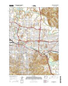
2014 Map of Eugene East
USGS Topo · Published 2014About this map
The confluence of the Willamette River and McKenzie River anchors this study of the Eugene and Springfield corridor in the early 21st century. The map reveals the dense institutional core of the region, specifically the University of Oregon and Northwest Christian University near the city center. This area is characterized by a high concentration of historic burial grounds, including the Eugene Pioneer Cemetery and Eugene Masonic Cemetery, which serve as vital touchstones for genealogical research.
Find a feature on this map
48 named features on this map. Tap any name to fly to it.
Don’t see what you’re looking for? This feature index may not catch every label — zoom into the map to look around manually.
Map Details
Editions of this 2014 Eugene East Map
This is the sole edition of this map. No revisions or reprints were ever made.
Other maps of this area

1910 · Eugene
USGS Topo · 1:62,500

1921 · Cottage Grove
USGS Topo · 1:62,500

1935 · Lowell
USGS Topo · 1:96,000

1940 · Eugene
USGS Topo · 1:62,500

1942 · Lowell
USGS Topo · 1:125,000

1946 · Eugene
USGS Topo · 1:62,500

1949 · Eugene
USGS Topo · 1:62,500

1950 · Marcola
USGS Topo · 1:62,500

1952 · Marcola
USGS Topo · 1:62,500

1953 · Salem
USGS Topo · 1:250,000