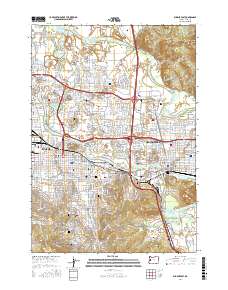
2017 Map of Eugene East
USGS Topo · Published 2017About this map
The Willamette River and McKenzie River converge in this detailed mapping of the urban corridor between Eugene and Springfield. The landscape is defined by its educational and civic institutions, most notably the expansive Univ of Oregon campus and Northwest Christian Univ, while Lane Community Coll Main Campus anchors the southern reaches near Moon Mtn. High-elevation landmarks like Skinner Butte and Gillespie Butte rise above the residential grid, offering a look at the topographical constraints that shaped the growth of these twin cities.
Find a feature on this map
46 named features on this map. Tap any name to fly to it.
Don’t see what you’re looking for? This feature index may not catch every label — zoom into the map to look around manually.
Map Details
Editions of this 2017 Eugene East Map
This is the sole edition of this map. No revisions or reprints were ever made.
Other maps of this area

1910 · Eugene
USGS Topo · 1:62,500

1921 · Cottage Grove
USGS Topo · 1:62,500

1935 · Lowell
USGS Topo · 1:96,000

1940 · Eugene
USGS Topo · 1:62,500

1942 · Lowell
USGS Topo · 1:125,000

1946 · Eugene
USGS Topo · 1:62,500

1949 · Eugene
USGS Topo · 1:62,500

1950 · Marcola
USGS Topo · 1:62,500

1952 · Marcola
USGS Topo · 1:62,500

1953 · Salem
USGS Topo · 1:250,000