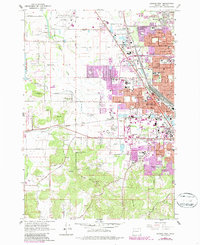
1967 Map of Eugene West
USGS Topo · Published 1987About this map
Mahlon Sweet Airport and the sprawling residential expansion of Eugene define this mid-century landscape in Lane County. The survey illustrates the rapid post-war growth of suburban neighborhoods like Santa Clara and Irving, where numerous educational institutions such as Willamette High Sch and North Eugene High Sch were established to serve the increasing population. This transition from rural to suburban is punctuated by the presence of industrial and recreational landmarks, including the Eugene Speedway and a Gravel Pit near Danebo.
Find a feature on this map
66 named features on this map. Tap any name to fly to it.
Don’t see what you’re looking for? This feature index may not catch every label — zoom into the map to look around manually.
Map Details
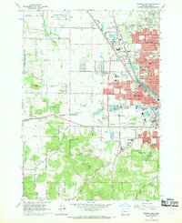
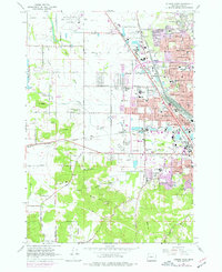
Editions of this 1967 Eugene West Map
3 editions found
Other maps of this area

1909 · Elmira
USGS Topo · 1:62,500

1910 · Eugene
USGS Topo · 1:62,500

1921 · Cottage Grove
USGS Topo · 1:62,500

1922 · Elmira
USGS Topo · 1:62,500

1940 · Eugene
USGS Topo · 1:62,500

1942 · Elmira
USGS Topo · 1:62,500

1942 · Crow
USGS Topo · 1:62,500

1945 · Crow
USGS Topo · 1:62,500

1946 · Eugene
USGS Topo · 1:62,500

1949 · Eugene
USGS Topo · 1:62,500