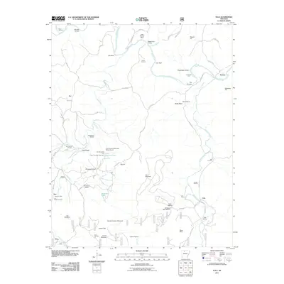
2011 Map of Eula
USGS Topo · Published 2011About this map
The Buffalo River carves through this northern Arkansas landscape, defining a region of steep bluffs and narrow hollows. At the turn of the 21st century, the area remains anchored by small settlements and historic family landmarks, such as Bass with its Bass Post Office and the community of Eula. The terrain is marked by distinctive geological features like Point Peter, Stack Rock, and the high elevations of Horn Mountain and Iceledo Mountain.
Find a feature on this map
81 named features on this map. Tap any name to fly to it.
Don’t see what you’re looking for? This feature index may not catch every label — zoom into the map to look around manually.
Map Details
Editions of this 2011 Eula Map
This is the sole edition of this map. No revisions or reprints were ever made.
Other maps of this area

1892 · Marshall
USGS Topo · 1:125,000

1893 · Yellville
USGS Topo · 1:125,000

1894 · Marshall
USGS Topo · 1:125,000

1901 · Marshall
USGS Topo · 1:125,000

1903 · Yellville
USGS Topo · 1:125,000

1904 · Harrison
USGS Topo · 1:125,000

1905 · Harrison
USGS Topo · 1:125,000

1905 · Yellville
USGS Topo · 1:125,000

1929 · Yellville
USGS Topo · 1:125,000

1933 · Mt Judea
USGS Topo · 1:62,500