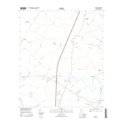
2014 Map of Eulonia
USGS Topo · Published 2014About this map
Eulonia and the meandering Sapelo River define this coastal Georgia landscape, where tidal influences meet established rural settlements. The area is characterized by its network of local roads and family-named landmarks, reflecting generations of land use near the salt marshes. Significant for genealogical research, the map identifies several local burial grounds, including the McIntosh Cem and the Buckley and O'Neal Cem.
Find a feature on this map
64 named features on this map. Tap any name to fly to it.
Don’t see what you’re looking for? This feature index may not catch every label — zoom into the map to look around manually.
Map Details
Editions of this 2014 Eulonia Map
This is the sole edition of this map. No revisions or reprints were ever made.
Other maps of this area

1918 · Everett City
USGS Topo · 1:62,500

1920 · Sapelo River
USGS Topo · 1:62,500

1920 · Everett City
USGS Topo · 1:62,500

1921 · Darien
USGS Topo · 1:62,500

1943 · Ludowici
USGS Topo · 1:62,500

1943 · Sapelo River
USGS Topo · 1:62,500

1944 · Everett City
USGS Topo · 1:62,500

1945 · Sapelo River
USGS Topo · 1:62,500

1946 · Brunswick
USGS Topo · 1:250,000

1948 · Brunswick
USGS Topo · 1:250,000