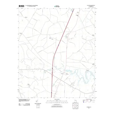
2024 Map of Eulonia
USGS Topo · Published 2024About this map
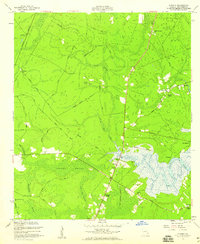
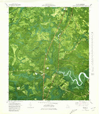
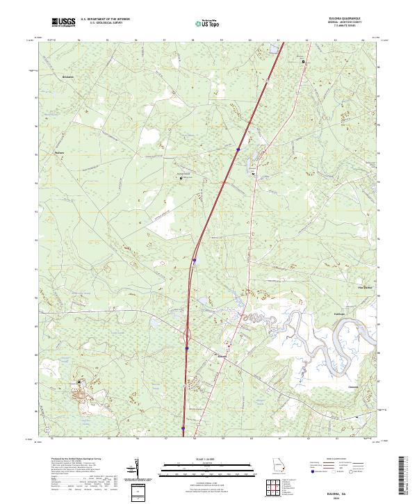
Eulonia serves as the central hub of this McIntosh County landscape, where the meandering Sapelo River defines the southern drainage patterns. The geography is characterized by an extensive network of named wetlands, including Big Mortar Swamp, Snuff Box Swamp, and Chisholm Swamp, which dictate the placement of local thoroughfares like North Way and the Buck Hill Rd. These low-lying areas reflect the coastal Georgia environment, where higher ground is often occupied by small settlements such as Warsaw, Crescent, and Pine Harbor.
Find a feature on this map
79 named features on this map. Tap any name to fly to it.
Don’t see what you’re looking for? This feature index may not catch every label — zoom into the map to look around manually.
Map Details
Editions of this 2024 Eulonia Map
This is the sole edition of this map. No revisions or reprints were ever made.
Historical Maps of Brickston Through Time
7 maps found