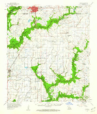
1959 Map of Eunice
USGS Topo · Published 1960About this map
Eunice anchors the top of this prairie landscape, where the concentrated urban grid gives way to the vast agricultural and industrial expanses of Acadia and St. Landry Parishes. The late 1950s economy is clearly defined by the proliferation of petroleum resources, with extensive operations at the Mowata Oil and Gas Field, Maxie Oil and Gas Field, and Savoy Oil and Gas Field. Transportation is dominated by the Missouri Pacific and Southern Pacific railroads, which connect smaller settlements like Mowata, Maxie, and Iota. Rural life is marked by numerous family-named landmarks and parish institutions, including the Acadia Academy and a high density of small cemeteries such as Hebert Cemetery and Ardoin Cemetery. The natural drainage system of Bayou Mallet and Long Point Gully winds through the fields, illustrating the complex irrigation and water management required for the region’s rice-growing heritage.
Find a feature on this map
61 named features on this map. Tap any name to fly to it.
Don’t see what you’re looking for? This feature index may not catch every label — zoom into the map to look around manually.
Map Details
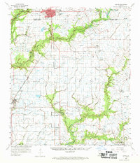
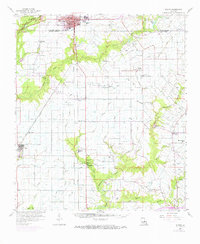
Editions of this 1959 Eunice Map
3 editions found
Other maps of this area

1934 · Duson
USGS Topo · 1:31,680

1935 · Branch
USGS Topo · 1:31,680

1939 · Opelousas
USGS Topo · 1:62,500

1946 · Mermentau
USGS Topo · 1:31,680

1946 · Rayne
USGS Topo · 1:31,680

1947 · Evangeline
USGS Topo · 1:31,680

1947 · Fruge Lake
USGS Topo · 1:31,680

1947 · Branch
USGS Topo · 1:31,680

1947 · Redland
USGS Topo · 1:31,680

1947 · Chataignier
USGS Topo · 1:31,680