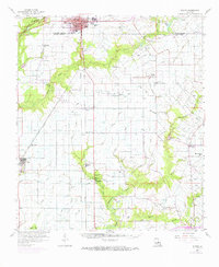
1959 Map of Eunice
USGS Topo · Published 1972About this map
The prairie landscape of St Landry Parish and Acadia Parish comes alive in this mid-century portrait, defined by its extensive network of irrigation canals and bayous. The city of Eunice serves as the regional hub, with the Southern Pacific railroad cutting a diagonal path through the southwestern Louisiana wetlands. The map reveals a rural economy transitioning from agriculture to heavy industrial extraction, evidenced by numerous oil and gas operations like the Maxie Oil and Gas Field and North Riche Oil and Gas Field.
Find a feature on this map
78 named features on this map. Tap any name to fly to it.
Don’t see what you’re looking for? This feature index may not catch every label — zoom into the map to look around manually.
Map Details
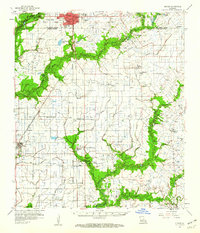
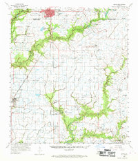
Editions of this 1959 Eunice Map
3 editions found
Other maps of this area

1934 · Duson
USGS Topo · 1:31,680

1935 · Branch
USGS Topo · 1:31,680

1939 · Opelousas
USGS Topo · 1:62,500

1946 · Mermentau
USGS Topo · 1:31,680

1946 · Rayne
USGS Topo · 1:31,680

1947 · Evangeline
USGS Topo · 1:31,680

1947 · Fruge Lake
USGS Topo · 1:31,680

1947 · Branch
USGS Topo · 1:31,680

1947 · Redland
USGS Topo · 1:31,680

1947 · Chataignier
USGS Topo · 1:31,680