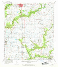
1959 Map of Eunice
USGS Topo · Published 1969About this map
The boundary between St Landry Parish and Acadia Parish cuts through this landscape of the late 1950s, where the city of Eunice serves as a northern hub. The region is defined by an intricate network of drainage and petroleum extraction, including the Grand Coulee Oil and Gas Field and the North Riche Oil and Gas Field. Rural life centers on family-named settlements and cemeteries such as the Harmon-Brugman Cem and Hebert Cem.
Find a feature on this map
70 named features on this map. Tap any name to fly to it.
Don’t see what you’re looking for? This feature index may not catch every label — zoom into the map to look around manually.
Map Details
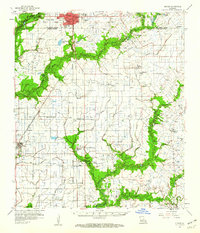
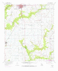
Editions of this 1959 Eunice Map
3 editions found
Other maps of this area

1934 · Duson
USGS Topo · 1:31,680

1935 · Branch
USGS Topo · 1:31,680

1939 · Opelousas
USGS Topo · 1:62,500

1946 · Mermentau
USGS Topo · 1:31,680

1946 · Rayne
USGS Topo · 1:31,680

1947 · Evangeline
USGS Topo · 1:31,680

1947 · Fruge Lake
USGS Topo · 1:31,680

1947 · Branch
USGS Topo · 1:31,680

1947 · Redland
USGS Topo · 1:31,680

1947 · Chataignier
USGS Topo · 1:31,680