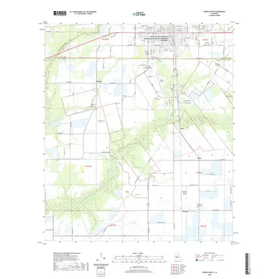
2020 Map of Eunice South
USGS Topo · Published 2020About this map
Jean Lafitte National Historical Park and Preserve anchors the northern portion of this landscape, situated within the city of Eunice along the boundary of St. Landry and Acadia Parishes. The region exhibits a transition from urban street grids to a sprawling agricultural and wetland mosaic to the south. Educational and transportation infrastructure is prominent, including the Louisiana State University Eunice campus and the Eunice Airport. Further south, small agricultural communities like Frey, Mowata, and Bates appear alongside family and parish landmarks. The land is marked by numerous burial sites, such as the Riche Herbert Fuselier Dupre Cem and Mowata Saint Lawrence Catholic Cem, reflecting deep-rooted local heritage. Water features like Ruppert Lake and Richards Gully break up the cultivated fields, while the transition between Evangeline, St. Landry, and Acadia parishes highlights the political geography of this prairie region.
Find a feature on this map
100 named features on this map. Tap any name to fly to it.
Don’t see what you’re looking for? This feature index may not catch every label — zoom into the map to look around manually.
Map Details
Editions of this 2020 Eunice South Map
This is the sole edition of this map. No revisions or reprints were ever made.
Other maps of this area

1935 · Branch
USGS Topo · 1:31,680

1947 · Evangeline
USGS Topo · 1:31,680

1947 · Fruge Lake
USGS Topo · 1:31,680

1947 · Branch
USGS Topo · 1:31,680

1947 · Redland
USGS Topo · 1:31,680

1947 · Chataignier
USGS Topo · 1:31,680

1947 · Eunice
USGS Topo · 1:31,680

1947 · Iota
USGS Topo · 1:31,680

1947 · Pitreville
USGS Topo · 1:31,680

1947 · Basile
USGS Topo · 1:31,680