
1942 Map of Eureka
USGS Topo · Published 1942About this map
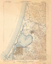
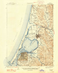
The timber and maritime economy of Humboldt County is clearly visible in this survey, which highlights the strategic development of Eureka and Arcata during the early 1940s. The intricate network of tidal channels, including Freshwater Slough and Eureka Slough, defines the eastern margins of Arcata Bay, while the Northwestern Pacific RR traces the shoreline to connect these coastal hubs. Further inland, the landscape transitions from the flats of Dows Prairie to the timbered ridges above Fieldbrook, where small communities supported by the Fieldbrook Sch and Washington Sch represent the era’s rural infrastructure.
Find a feature on this map
78 named features on this map. Tap any name to fly to it.
Don’t see what you’re looking for? This feature index may not catch every label — zoom into the map to look around manually.
Map Details
Editions of this 1942 Eureka Map
3 editions found
Other maps of this area

1916 · Cape Fortunas
USGS Topo · 1:62,500

1922 · Eureka
USGS Topo · 1:62,500

1922 · Korbel
USGS Topo · 1:62,500

1922 · Kneeland
USGS Topo · 1:62,500

1925 · Hoopa
USGS Topo · 1:125,000

1933 · Eureka
USGS Topo · 1:48,000

1943 · Ferndale
USGS Topo · 1:62,500

1944 · Fortuna
USGS Topo · 1:62,500

1945 · Trinidad
USGS Topo · 1:62,500

1945 · Coyote Peak
USGS Topo · 1:62,500