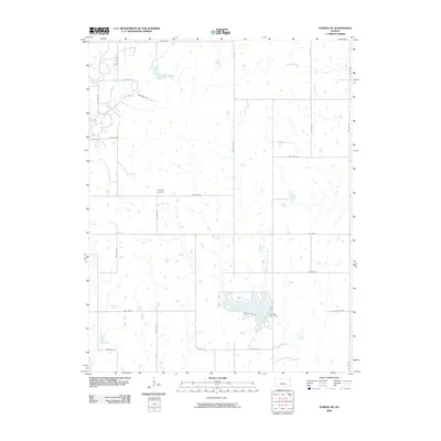
2009 Map of Eureka NE
USGS Topo · Published 2009About this map
Bachelor Creek defines much of the southern topography on this Greenwood County sheet, flowing toward the Eureka City Dam. This area of Kansas in the early 21st century remains characterized by a methodical grid of rural townships and county roads, such as Twp Rd 326 and Co Rd 8, which connect isolated farmsteads across the prairie. The presence of Highland Cemetery provides a central reference point for local genealogy, situated at a junction north of the reservoir. To the north, the landscape is segmented by Swing Creek and Homer Creek, illustrating the natural drainage patterns that have historically influenced land use and property boundaries in this agrarian region.
Find a feature on this map
31 named features on this map. Tap any name to fly to it.
Don’t see what you’re looking for? This feature index may not catch every label — zoom into the map to look around manually.
Map Details
Editions of this 2009 Eureka NE Map
This is the sole edition of this map. No revisions or reprints were ever made.
Other maps of this area

1885 · Eureka
USGS Topo · 1:125,000

1888 · Emporia
USGS Topo · 1:125,000

1888 · Eureka
USGS Topo · 1:125,000

1894 · Emporia
USGS Topo · 1:125,000

1894 · Eureka
USGS Topo · 1:125,000

1955 · Wichita
USGS Topo · 1:250,000

1955 · Hutchinson
USGS Topo · 1:250,000

1958 · Wichita
USGS Topo · 1:250,000

1959 · Hutchinson
USGS Topo · 1:250,000

1967 · Madison SW
USGS Topo · 1:24,000