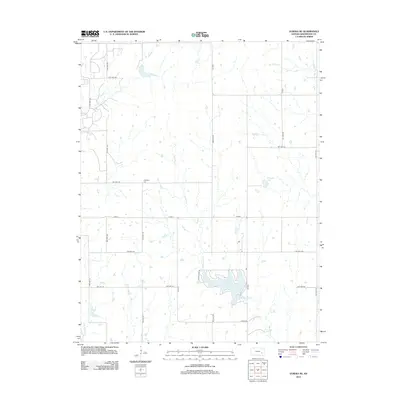
2012 Map of Eureka NE
USGS Topo · Published 2012About this map
Eureka City Lake serves as a prominent water feature in this portion of Greenwood County, where the plains are defined by an intricate network of creeks and prairie drainage. The rural landscape north and east of the county seat is characterized by a high density of small ponds and the meandering paths of Bachelor Cr and Swing Cr. Near the center of the sheet, the Highland Cem provides a point of genealogical interest for local families, situated along the gravel township roads that form a strict square grid across the terrain. This 2012 survey illustrates the modern agricultural footprint of the region, where livestock water sources like Munger Lake and the various tributaries of the E Br Fall River support the area's ranching economy. The map traces the persistent path of Homer Cr through the northeastern corner, highlighting how water management and traditional township boundaries continue to shape this Kansas prairie.
Find a feature on this map
30 named features on this map. Tap any name to fly to it.
Don’t see what you’re looking for? This feature index may not catch every label — zoom into the map to look around manually.
Map Details
Editions of this 2012 Eureka NE Map
This is the sole edition of this map. No revisions or reprints were ever made.
Other maps of this area

1885 · Eureka
USGS Topo · 1:125,000

1888 · Emporia
USGS Topo · 1:125,000

1888 · Eureka
USGS Topo · 1:125,000

1894 · Emporia
USGS Topo · 1:125,000

1894 · Eureka
USGS Topo · 1:125,000

1955 · Wichita
USGS Topo · 1:250,000

1955 · Hutchinson
USGS Topo · 1:250,000

1958 · Wichita
USGS Topo · 1:250,000

1959 · Hutchinson
USGS Topo · 1:250,000

1967 · Madison SW
USGS Topo · 1:24,000