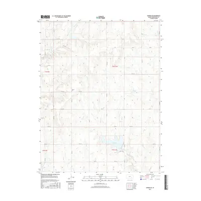
2015 Map of Eureka NE
USGS Topo · Published 2015About this map
The rolling prairies of Greenwood County are defined by a network of drainage systems feeding into the Eureka City Lake reservoir. This landscape, characterized by the meandering courses of Bachelor Creek and Swing Creek, reflects the typical cattle-country topography of the Flint Hills region. The northern half of the sheet is marked by upland ridges between Homer Creek and Munger Lake, while the southwestern corner follows the riparian corridor of the East Branch Fall River. For genealogists and local historians, the Highland Cem serves as a significant landmark in the central-western portion of the quadrangle. The map documents the grid of township roads, such as Township Road 320 and Township Road 563, that partition the large tracts of ranchland surrounding the lake and its feeder streams.
Find a feature on this map
43 named features on this map. Tap any name to fly to it.
Don’t see what you’re looking for? This feature index may not catch every label — zoom into the map to look around manually.
Map Details
Editions of this 2015 Eureka NE Map
This is the sole edition of this map. No revisions or reprints were ever made.
Other maps of this area

1885 · Eureka
USGS Topo · 1:125,000

1888 · Emporia
USGS Topo · 1:125,000

1888 · Eureka
USGS Topo · 1:125,000

1894 · Emporia
USGS Topo · 1:125,000

1894 · Eureka
USGS Topo · 1:125,000

1955 · Wichita
USGS Topo · 1:250,000

1955 · Hutchinson
USGS Topo · 1:250,000

1958 · Wichita
USGS Topo · 1:250,000

1959 · Hutchinson
USGS Topo · 1:250,000

1967 · Madison SW
USGS Topo · 1:24,000