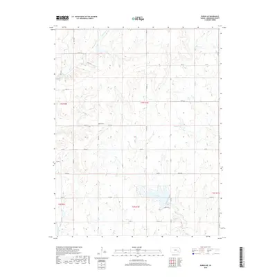
2018 Map of Eureka NE
USGS Topo · Published 2018About this map
Highland Cem sits at a high point in the north-central part of this landscape, overlooking a network of creeks and prairie drainages that define this portion of Greenwood County. The terrain is shaped by the headwaters of Swing Cr and Homer Cr in the north, while the southern section is dominated by the reservoir at Eureka City Lake. This water body is fed by Bachelor Cr, showing the importance of local water management in the rural plains. A dense grid of township roads, including Twp Rd 320 and Twp Rd 326, provides access to these upland pastures and agricultural tracts. In the far southwest corner, the East Branch Fall River cuts through the territory, marking a significant hydrological boundary just west of Eureka Lake Rd.
Find a feature on this map
41 named features on this map. Tap any name to fly to it.
Don’t see what you’re looking for? This feature index may not catch every label — zoom into the map to look around manually.
Map Details
Editions of this 2018 Eureka NE Map
This is the sole edition of this map. No revisions or reprints were ever made.
Other maps of this area

1885 · Eureka
USGS Topo · 1:125,000

1888 · Emporia
USGS Topo · 1:125,000

1888 · Eureka
USGS Topo · 1:125,000

1894 · Emporia
USGS Topo · 1:125,000

1894 · Eureka
USGS Topo · 1:125,000

1955 · Wichita
USGS Topo · 1:250,000

1955 · Hutchinson
USGS Topo · 1:250,000

1958 · Wichita
USGS Topo · 1:250,000

1959 · Hutchinson
USGS Topo · 1:250,000

1967 · Madison SW
USGS Topo · 1:24,000