
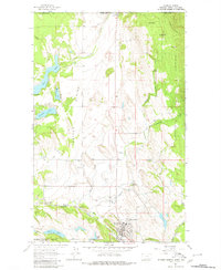
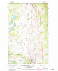
1963 Map of Eureka North
USGS Topo · Published 1966About this map
Tobacco Plains dominates the center of this Lincoln County survey, illustrating the international borderlands where the United States and Canada meet at Roosville. The landscape transitions from the open stretches of Iowa Flats to the forested slopes of the Kootenai National Forest. Significant infrastructure of the early 1960s is mapped in detail, including the Great Northern railroad corridor following the Tobacco River and the Eureka Airfield.
Find a feature on this map
34 named features on this map. Tap any name to fly to it.
Don’t see what you’re looking for? This feature index may not catch every label — zoom into the map to look around manually.
Map Details
Editions of this 1963 Eureka North Map
3 editions found
Other maps of this area

1913 · Stryker
USGS Topo · 1:125,000

1916 · Stryker
USGS Topo · 1:125,000

1957 · Kalispell
USGS Topo · 1:250,000

1960 · Kalispell
USGS Topo · 1:250,000

1961 · Kalispell
USGS Topo · 1:250,000

1963 · Rexford
USGS Topo · 1:24,000

1963 · Ksanka Peak
USGS Topo · 1:24,000

1963 · Eureka South
USGS Topo · 1:24,000
1963 · Fortine
USGS Topo · 1:24,000
1963 · Beartrap Mountain
USGS Topo · 1:24,000