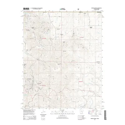
2014 Map of Eureka Springs
USGS Topo · Published 2014About this map
Eureka Springs serves as the focal point of this 2014 survey, illustrating the complex geography of the Ozarks along the Missouri and Arkansas state line. The landscape is defined by its dramatic relief, featuring prominent peaks like Boat Mountain and Brush Mountain, alongside the deep incisions of Smith Hollow and Hyde Hollow. This modern record documents the established infrastructure surrounding the town, including the Eureka Springs Cemetery and the Silver Wings Field Airport. To the north, the waters of Table Rock Lake and the Kings River drainage system highlight the importance of water resources in the region. Notable local landmarks like Pivot Rock and the Magnetic Spring are identified, offering specific locations for those tracing the development of this resort community and its outlying settlements such as Holiday Island and Grandview.
Find a feature on this map
80 named features on this map. Tap any name to fly to it.
Don’t see what you’re looking for? This feature index may not catch every label — zoom into the map to look around manually.
Map Details
Editions of this 2014 Eureka Springs Map
This is the sole edition of this map. No revisions or reprints were ever made.
Other maps of this area

1900 · Eureka Springs
USGS Topo · 1:125,000

1901 · Eureka Springs
USGS Topo · 1:125,000

1927 · Shell Knob
USGS Topo · 1:62,500

1937 · Cassville
USGS Topo · 1:48,000

1944 · Cassville
USGS Topo · 1:62,500

1945 · Harrison
USGS Topo · 1:250,000

1949 · Harrison
USGS Topo · 1:250,000

1950 · Shell Knob
USGS Topo · 1:62,500

1954 · Harrison
USGS Topo · 1:250,000

1957 · Mundell
USGS Topo · 1:24,000