Loading...
Loading map...2024 Map of Eureka Springs
USGS Topo · Published 2024About this map
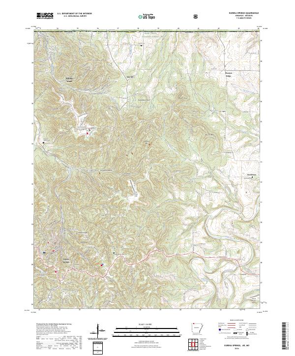
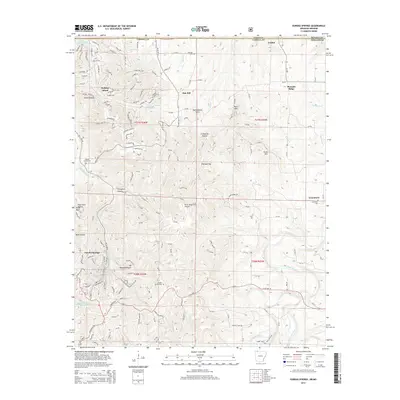
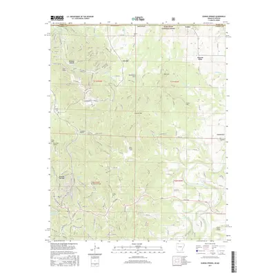
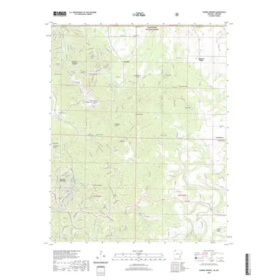
Eureka Springs anchors this topographic study of Carroll County, showcasing the distinctive winding streets and spring-fed hydrology of this Ozark community. The area is defined by sharp elevation changes between peaks like Mt Oberammergau and Boat Mtn, while the Kings River and Osage Creek carve through the southern reaches. Local history is deeply etched into the landscape via numerous burial grounds, including Eureka Springs Cem and the rural Oak Hill Cem.
Find a feature on this map
154 named features on this map. Tap any name to fly to it.
Don’t see what you’re looking for? This feature index may not catch every label — zoom into the map to look around manually.
Map Details
Date Portrayed2024
Date Published2024
PublisherU.S. Geological Survey
Map TypeTopographic
Scale1:24,000
Physical Dimensions24 x 29 inches
Editions of this 2024 Eureka Springs Map
This is the sole edition of this map. No revisions or reprints were ever made.
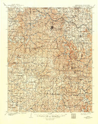
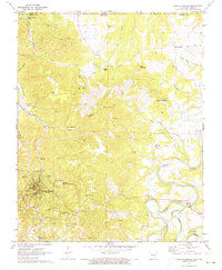
Historical Maps of Eureka Springs Through Time
8 maps found

Featured Locations
Source Details
SourceU.S. Geological Survey
CopyrightPublic Domain