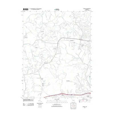
2012 Map of Eureka
USGS Topo · Published 2012About this map
Wildwood and the surrounding Saint Louis County countryside are documented in this 2012 survey, showing a landscape defined by the drainage of Wildhorse Creek and Bonhomme Creek. The map records several long-established communities and post offices, including Grover Post Office and the Fox Creek Glencoe Post Office. While modern residential roads like Top of the Hill and Fox Run Hollow Ln indicate suburban growth, the area’s rural roots remain visible through sites such as the Allen Cemetery and numerous family-named landmarks like Spencer Harris Hollow and Coon Hollow. South of Pond, the terrain drops toward the Meramec River at Rebel Bend, where the Interstate 44 corridor passes through Allenton and the northern edge of Eureka.
Find a feature on this map
141 named features on this map. Tap any name to fly to it.
Don’t see what you’re looking for? This feature index may not catch every label — zoom into the map to look around manually.
Map Details
Editions of this 2012 Eureka Map
This is the sole edition of this map. No revisions or reprints were ever made.
Other maps of this area

1901 · De Soto
USGS Topo · 1:125,000

1903 · O'Fallon
USGS Topo · 1:125,000

1931 · Manchester SE
USGS Topo · 1:24,000

1931 · Pacific NE
USGS Topo · 1:24,000

1932 · Manchester NE
USGS Topo · 1:24,000

1937 · Pacific
USGS Topo · 1:24,000

1937 · Weldon Spring
USGS Topo · 1:24,000

1940 · Eureka
USGS Topo · 1:24,000

1940 · Weldon Spring
USGS Topo · 1:24,000

1944 · Eureka
USGS Topo · 1:24,000