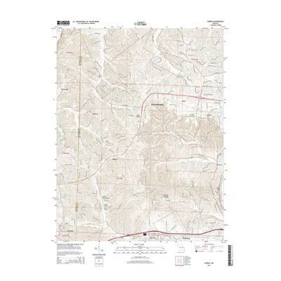
2015 Map of Eureka
USGS Topo · Published 2015About this map
The Meramec River winds through the southern corridor of this landscape, anchoring the historic communities of Eureka, Allenton, and Pacific. The terrain is defined by a series of named ravines and hollows, such as Spencer Harris Hollow, Rabbit Hollow, and Pinhook Hollow, which highlight the complex topography south of Wildwood. This 2015 survey illustrates the modern residential development and infrastructure of western Saint Louis County, including the campus of Saint Louis Community College-Wildwood and recreational sites like Camp Wyman. Along the northern border, the Missouri River creates a natural boundary, while inland water bodies like Paul Goessling Lake and Anthonis Lake dot the landscape. Local history is preserved in sites such as the Allen Cemetery near the southern rail lines, providing a detailed view of the area's transition from rural townships like Melrose and Pond to a contemporary suburban network.
Find a feature on this map
196 named features on this map. Tap any name to fly to it.
Don’t see what you’re looking for? This feature index may not catch every label — zoom into the map to look around manually.
Map Details
Editions of this 2015 Eureka Map
This is the sole edition of this map. No revisions or reprints were ever made.
Other maps of this area

1901 · De Soto
USGS Topo · 1:125,000

1903 · O'Fallon
USGS Topo · 1:125,000

1931 · Manchester SE
USGS Topo · 1:24,000

1931 · Pacific NE
USGS Topo · 1:24,000

1932 · Manchester NE
USGS Topo · 1:24,000

1937 · Pacific
USGS Topo · 1:24,000

1937 · Weldon Spring
USGS Topo · 1:24,000

1940 · Eureka
USGS Topo · 1:24,000

1940 · Weldon Spring
USGS Topo · 1:24,000

1944 · Eureka
USGS Topo · 1:24,000